Best Marine GPS Systems for Boaters in 2025
Marine GPS selection has turned into a moving target with all the chartplotter options, multifunction displays, and handheld units flying around. As someone who has navigated with everything from paper charts and a handheld to fully integrated glass cockpits, I dug into the practical details of what actually matters in a marine GPS. Today, I will share it all with you.
This article includes affiliate links. We may earn a commission at no extra cost to you.
I’ll tell you something most review sites won’t: the best GPS is the one you actually know how to use under pressure. I’ve watched skippers fumble with brand-new touchscreen chartplotters in tight channels because they never practiced beyond the basics. Meanwhile, I’ve seen old-timers with decade-old units navigate flawlessly in fog because they knew every menu, every alarm, every shortcut. Buy quality, absolutely — but then learn the thing inside and out before you need it.

Advanced Marine GPS – Best for Safety
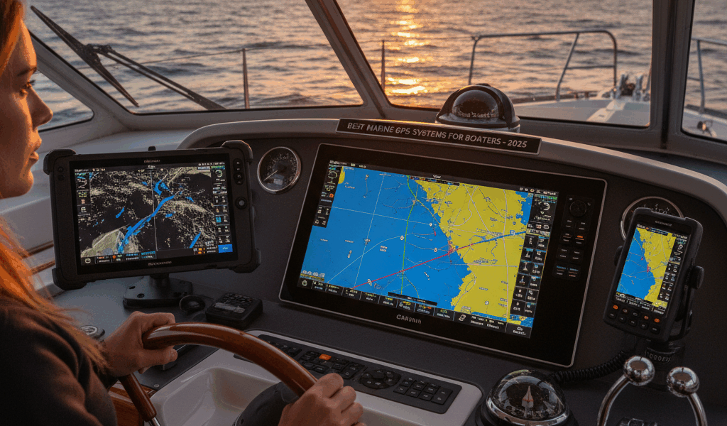
Probably should have led with this material, openly. A professional-grade GPS with charts, weather overlays, and collision avoidance features isn’t overkill — it’s smart seamanship. When you’re making a landfall after days offshore or picking your way through an unfamiliar harbor at dusk, having all that information on one screen is invaluable.
Key Features:
- Pre-loaded marine charts that cover your cruising grounds
- Weather overlays so you can see what’s coming
- AIS integration for real-time traffic awareness
- Touchscreen display that works with wet hands
- Waterproof construction rated for the marine environment
That’s what makes a solid marine GPS endearing to us passagemakers — it puts critical navigation data right where you need it, when you need it most. I’ve relied on mine in conditions where I genuinely could not have navigated safely without it.


Stay in the loop
Get the latest passage maker mag updates delivered to your inbox.